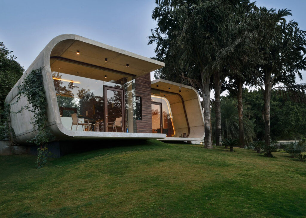
WE PROPOSE
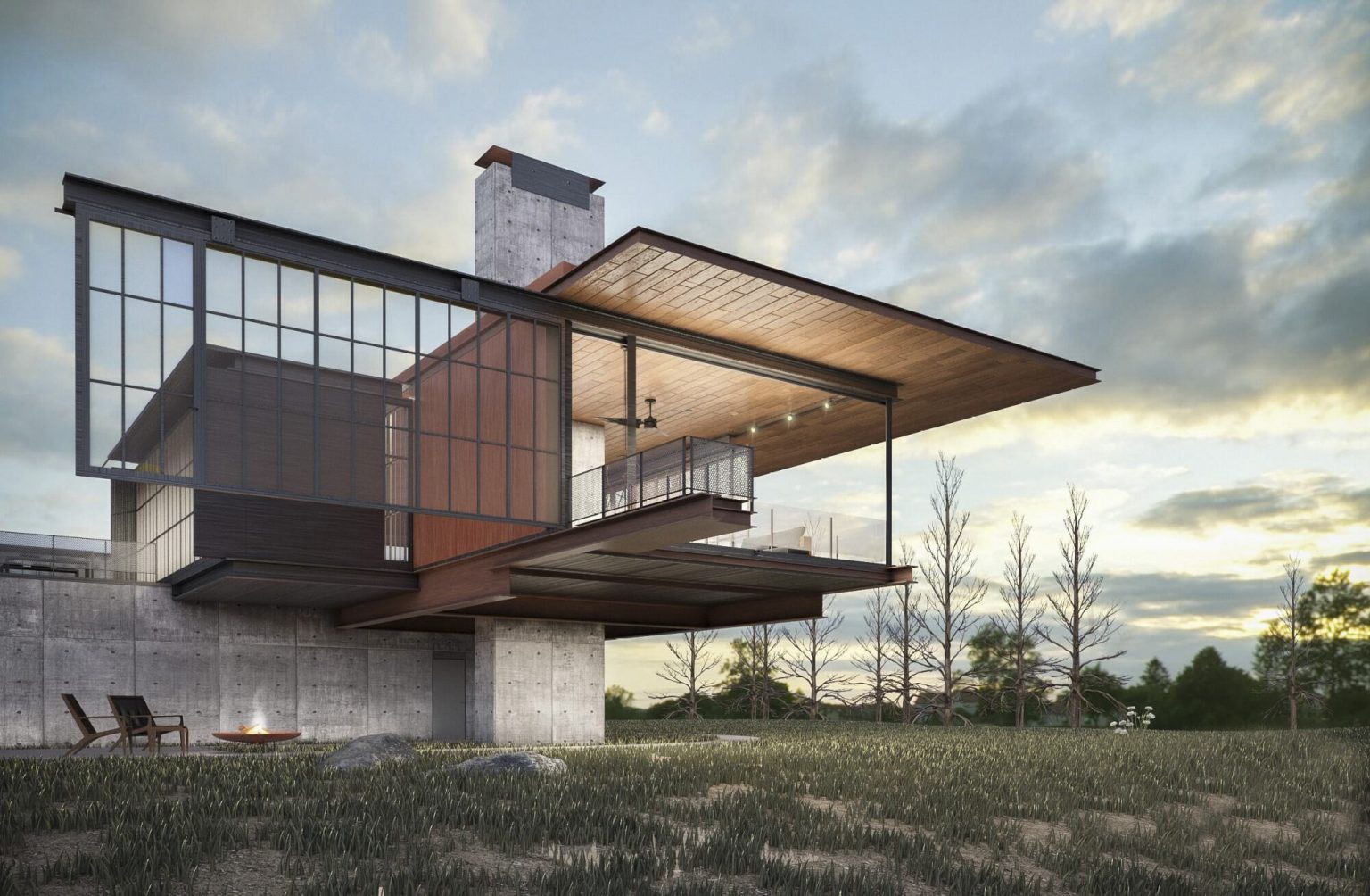
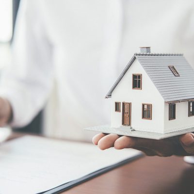
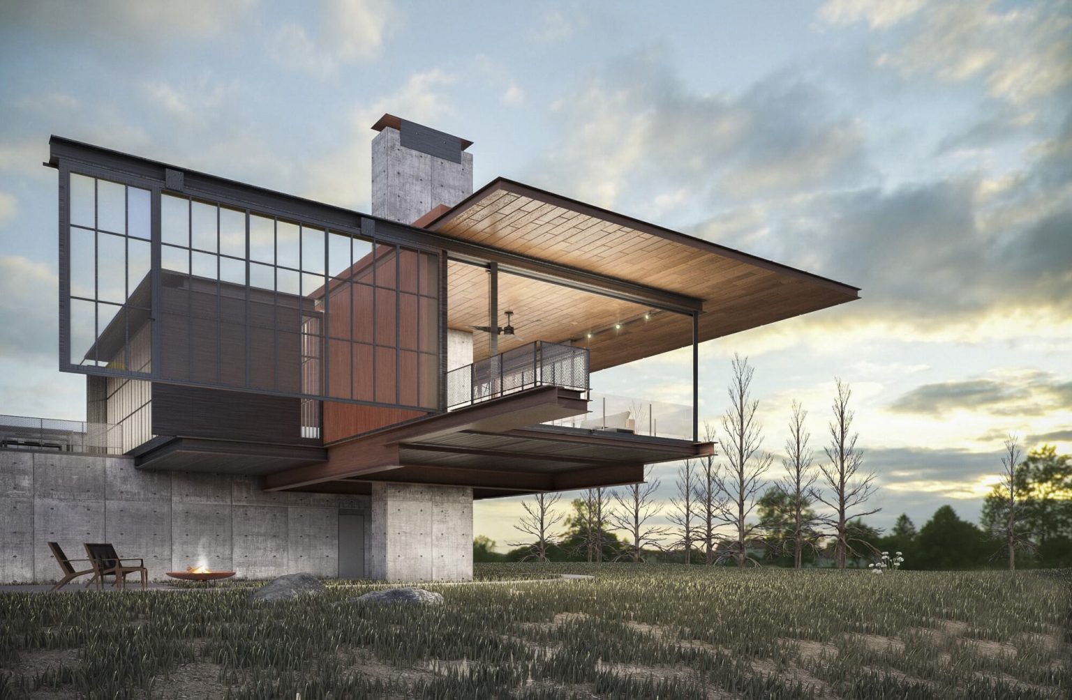
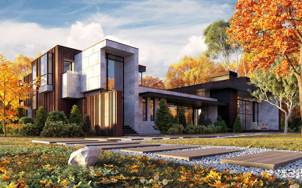
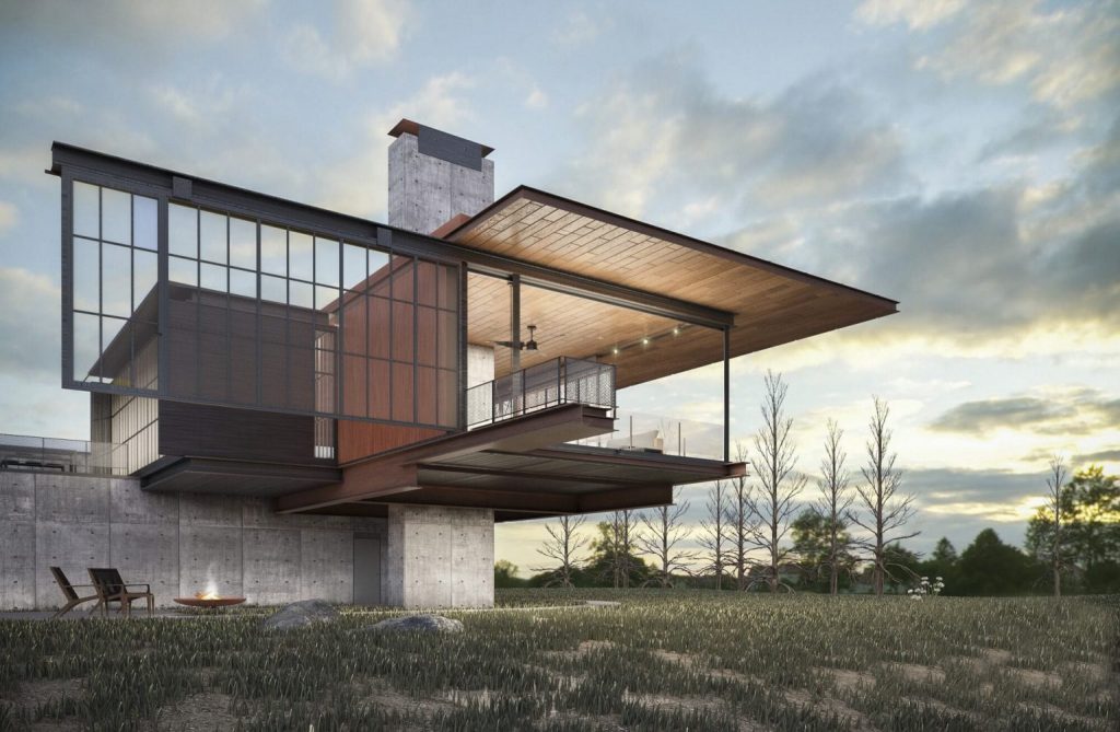
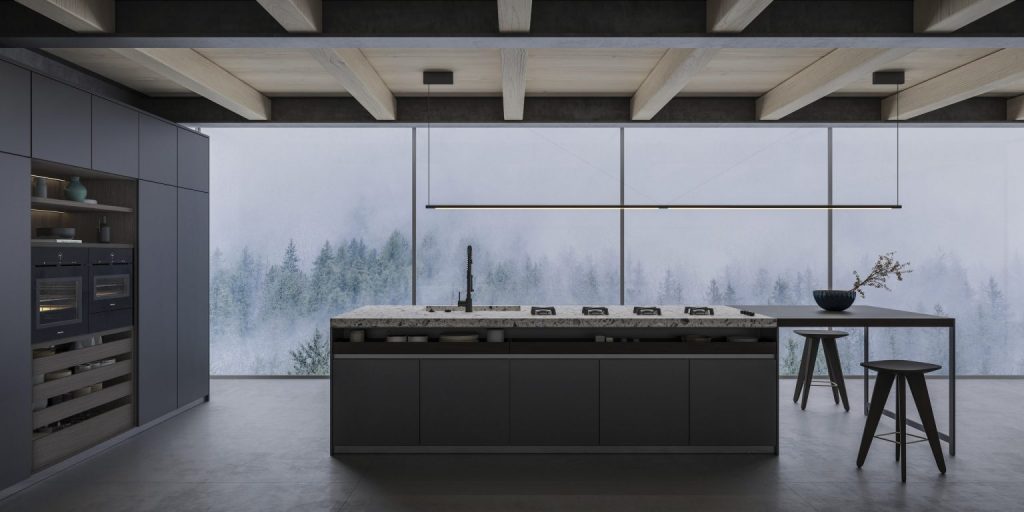
Architectural Design The design of the buildings begins with the Thaarchitectural design. The architectural design must meet the wishes and
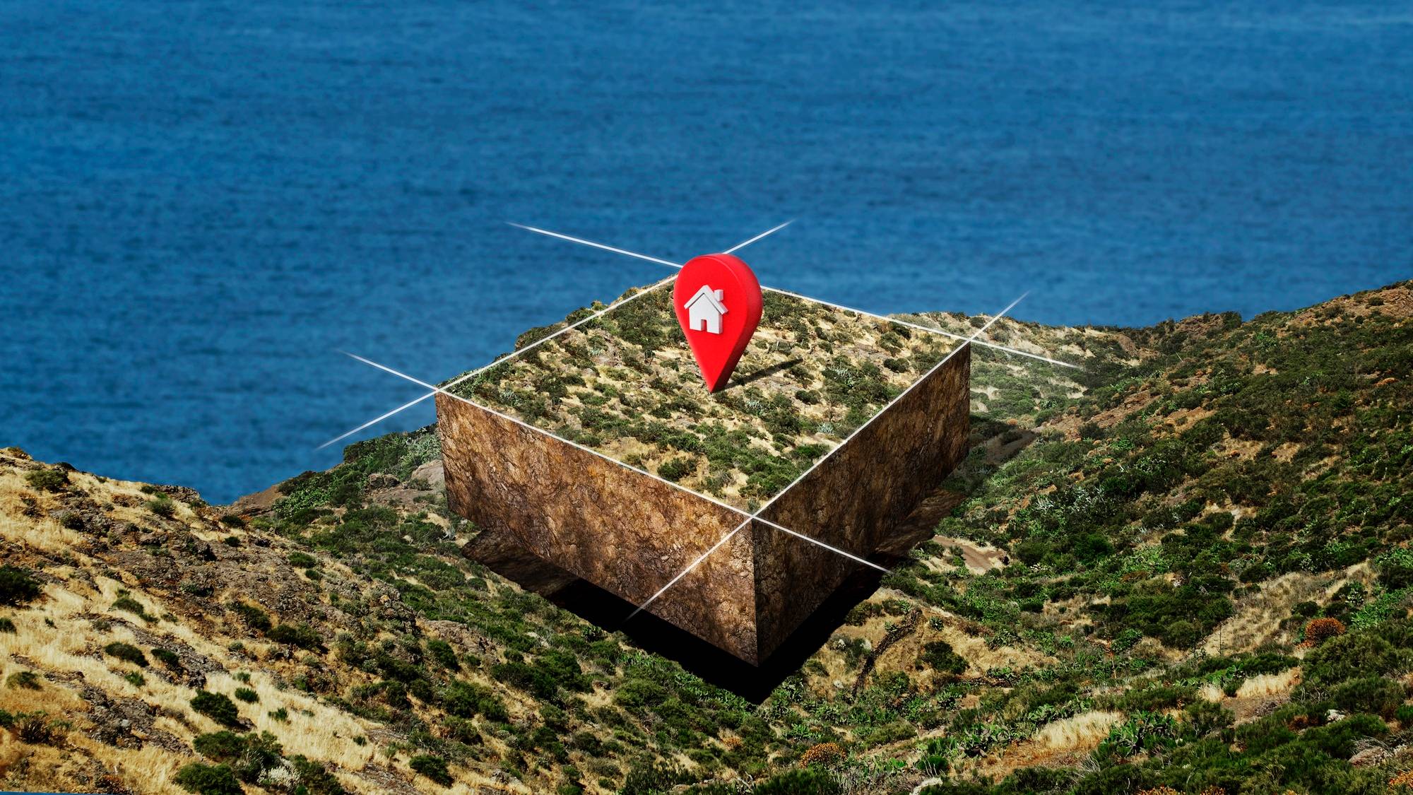
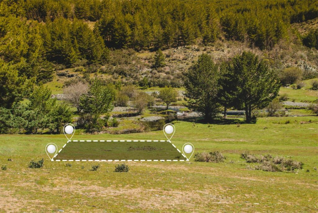
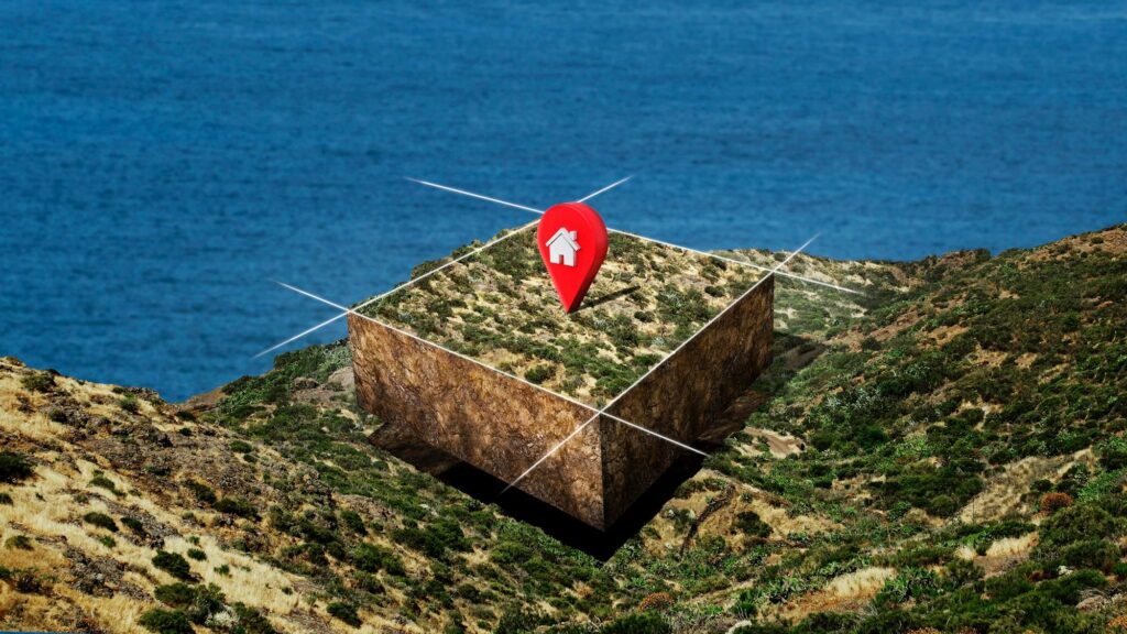
Accurate mapping of plots and agricultural land is essential for proper land management, legal clarity, and optimal agricultural planning. At
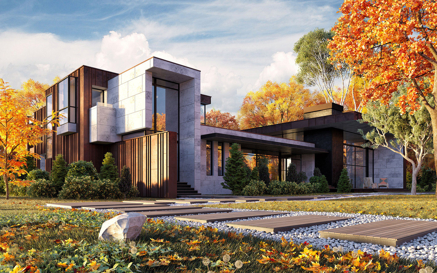
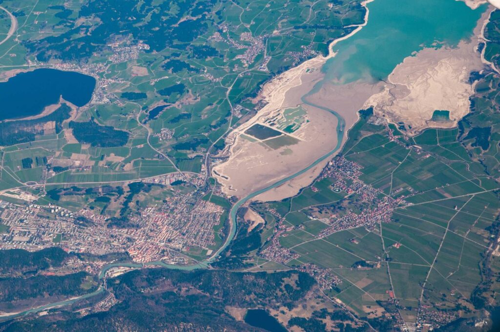
High-resolution orthophoto maps are a powerful tool for accurate land representation, combining the detail of aerial imagery with the precision
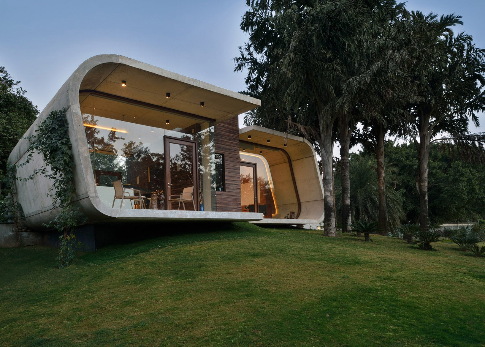
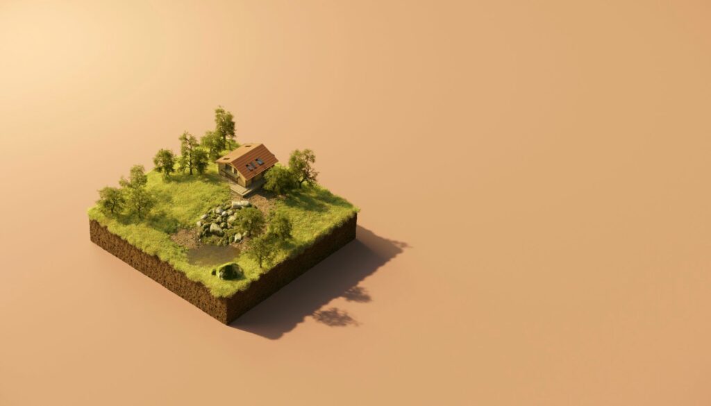
3D terrain and building models provide a realistic, data-rich representation of the physical environment, enabling better planning, analysis, and decision-making.
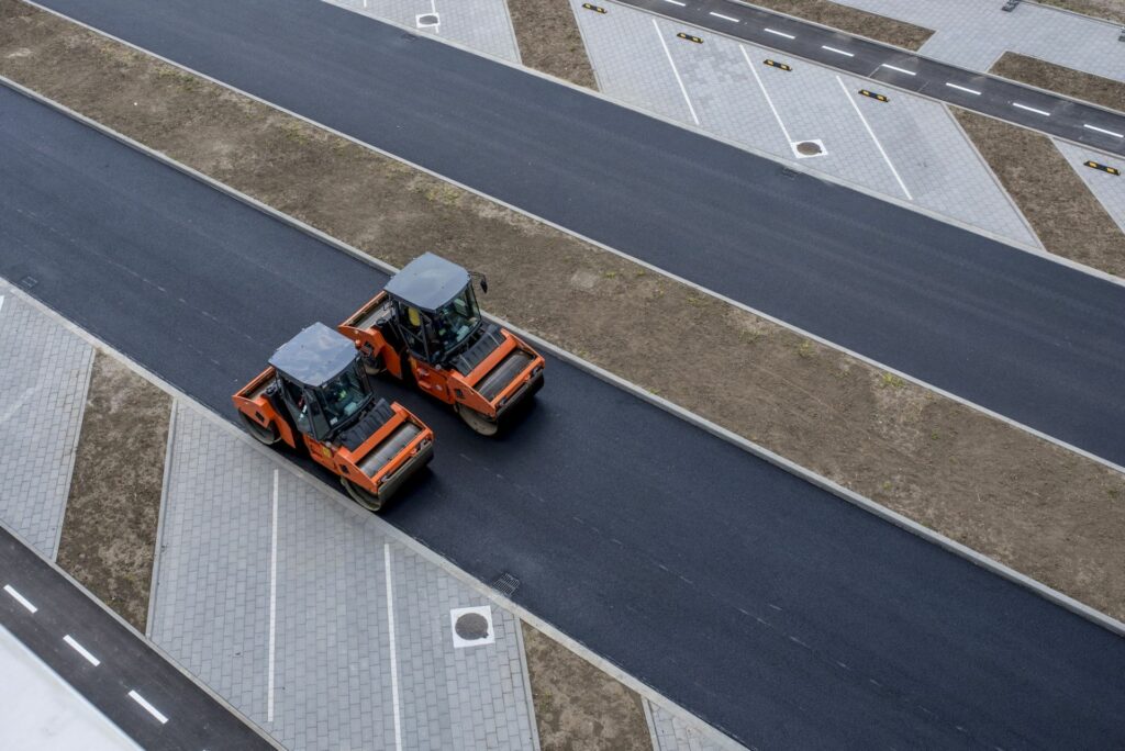
Accurate calculation of volumes, surface areas, and material quantities is essential for the successful planning and execution of road construction
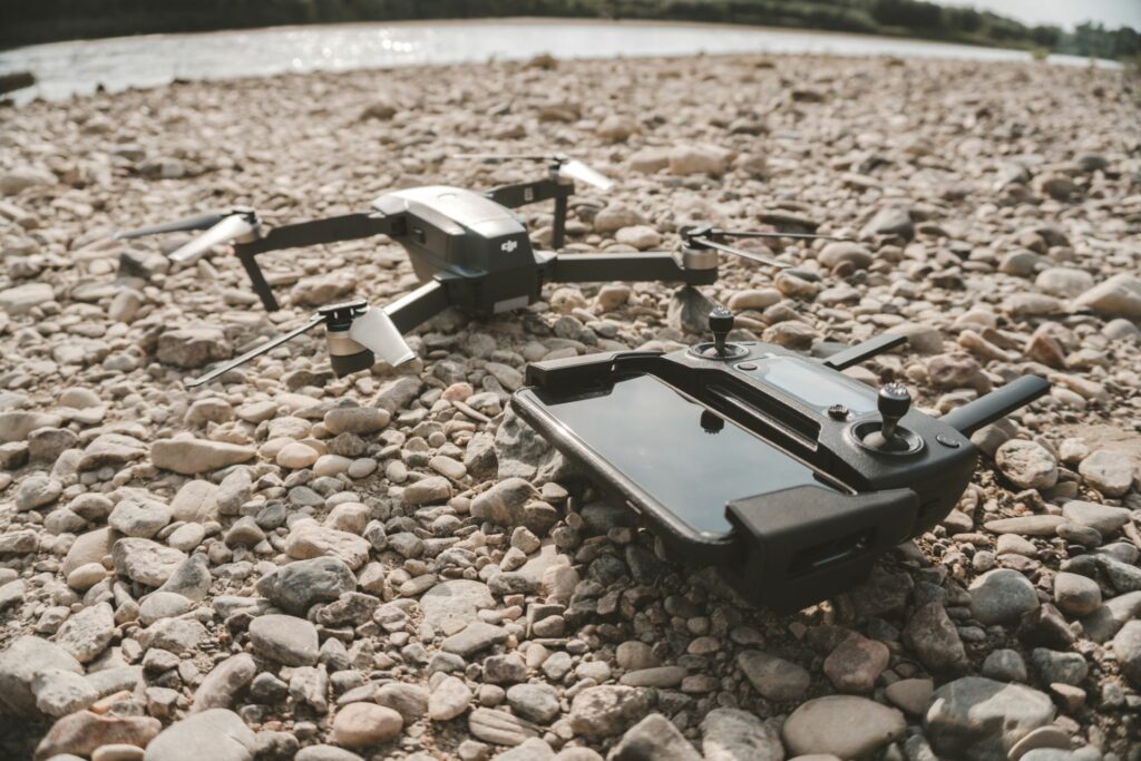
Topographic surveying with drones is a modern, fast, and highly accurate method for capturing detailed information about land surfaces. At
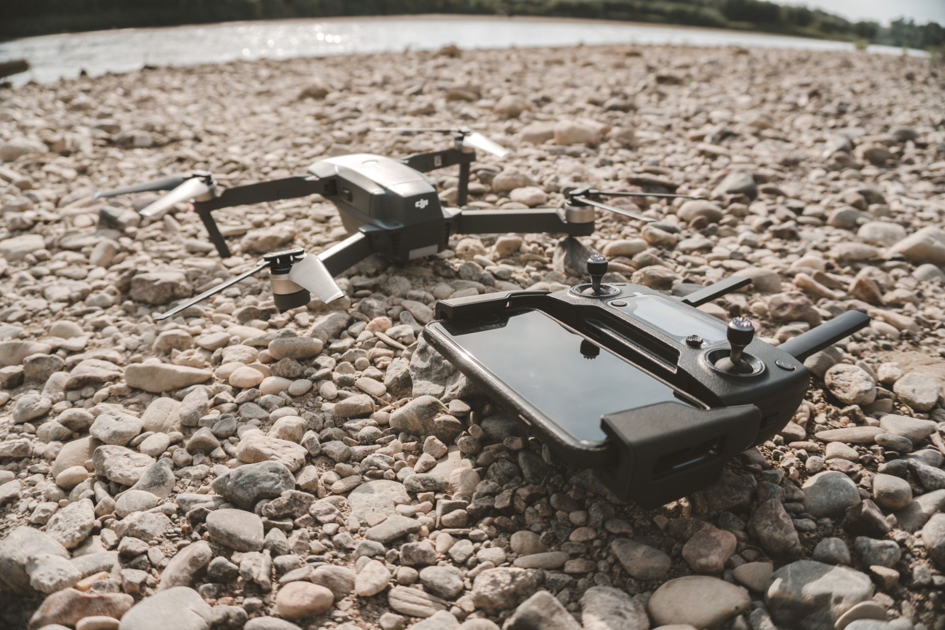
The inspection of buildings and structures is essential for ensuring safety, functionality, and long-term durability. At Fourtsadakis, we provide advanced
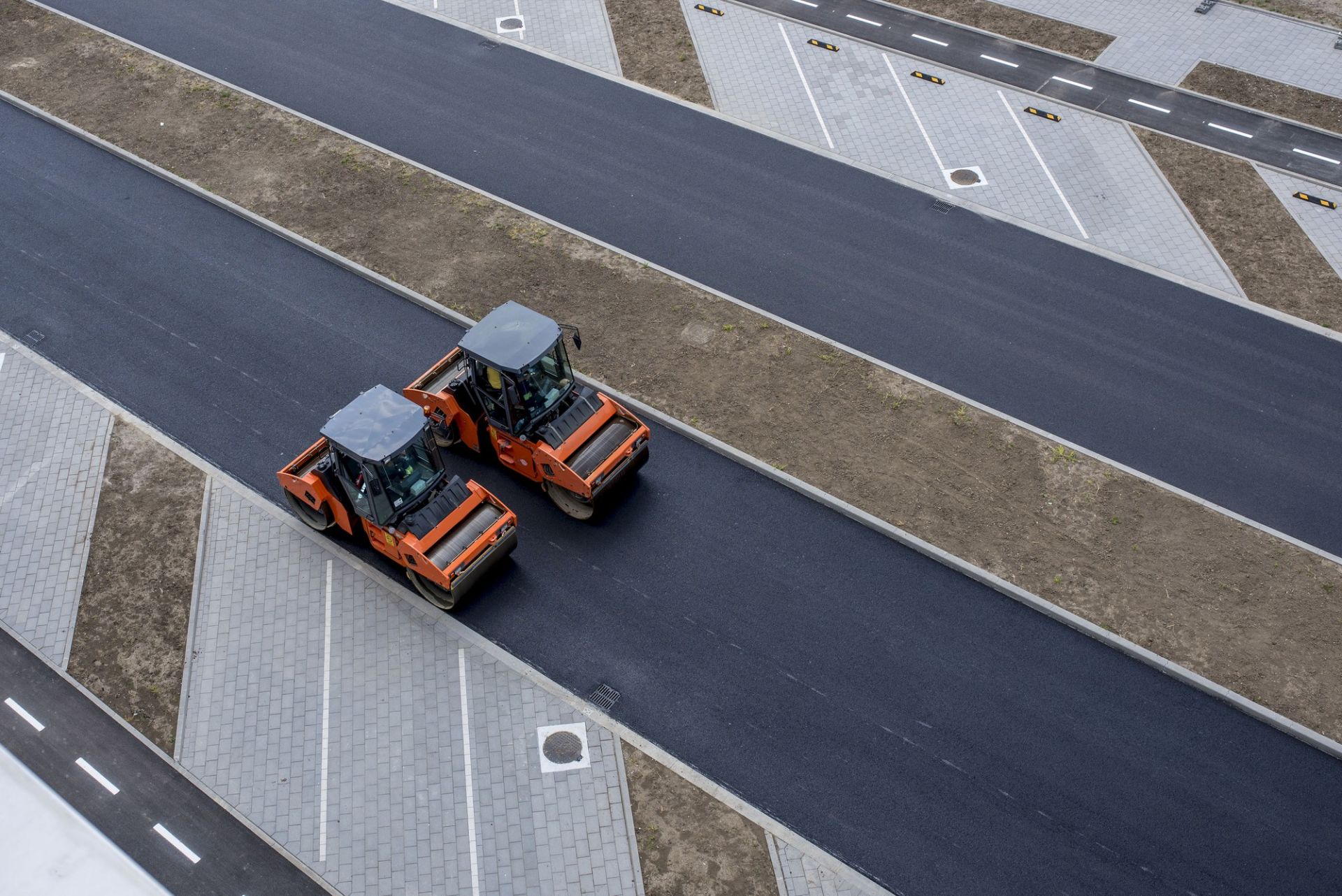
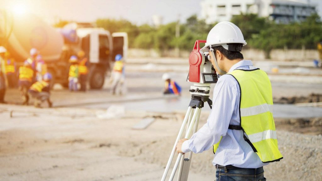
Accurate and reliable mapping is a fundamental tool for engineers, contractors, and technical offices involved in design, construction, and project
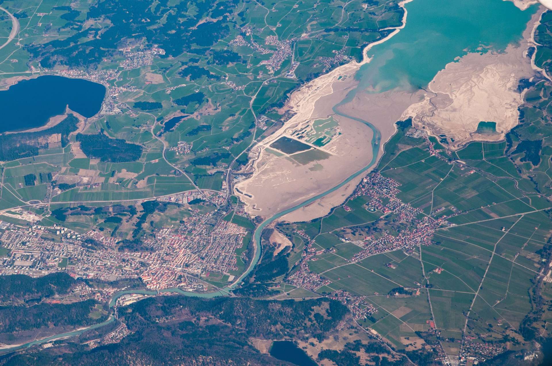
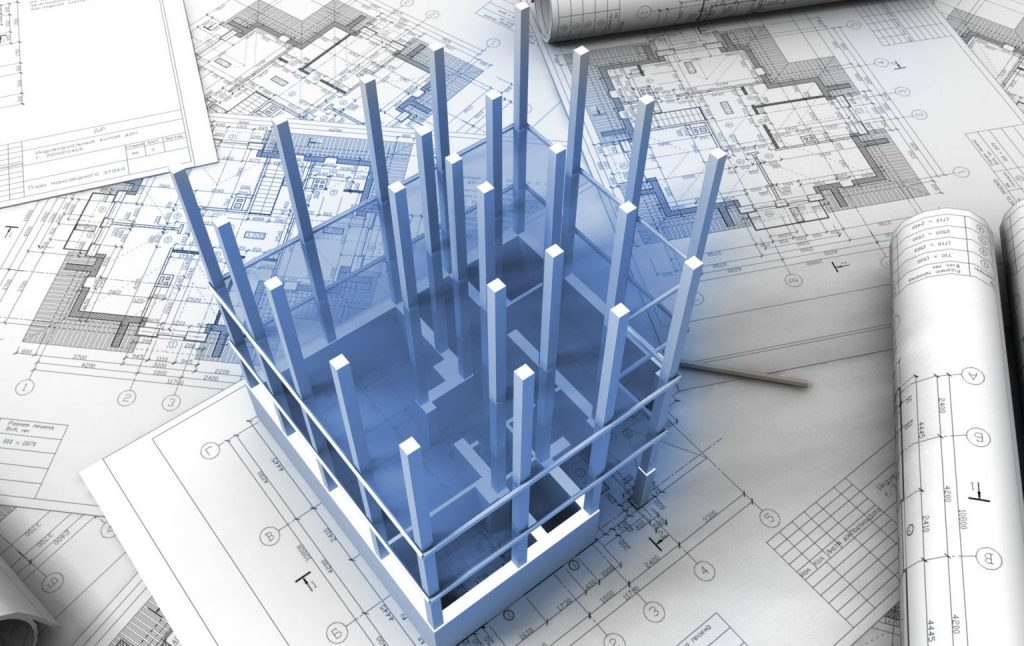
Scan to BIM (Building Information Modeling) is an advanced process that converts real-world structures into accurate digital 3D models. At
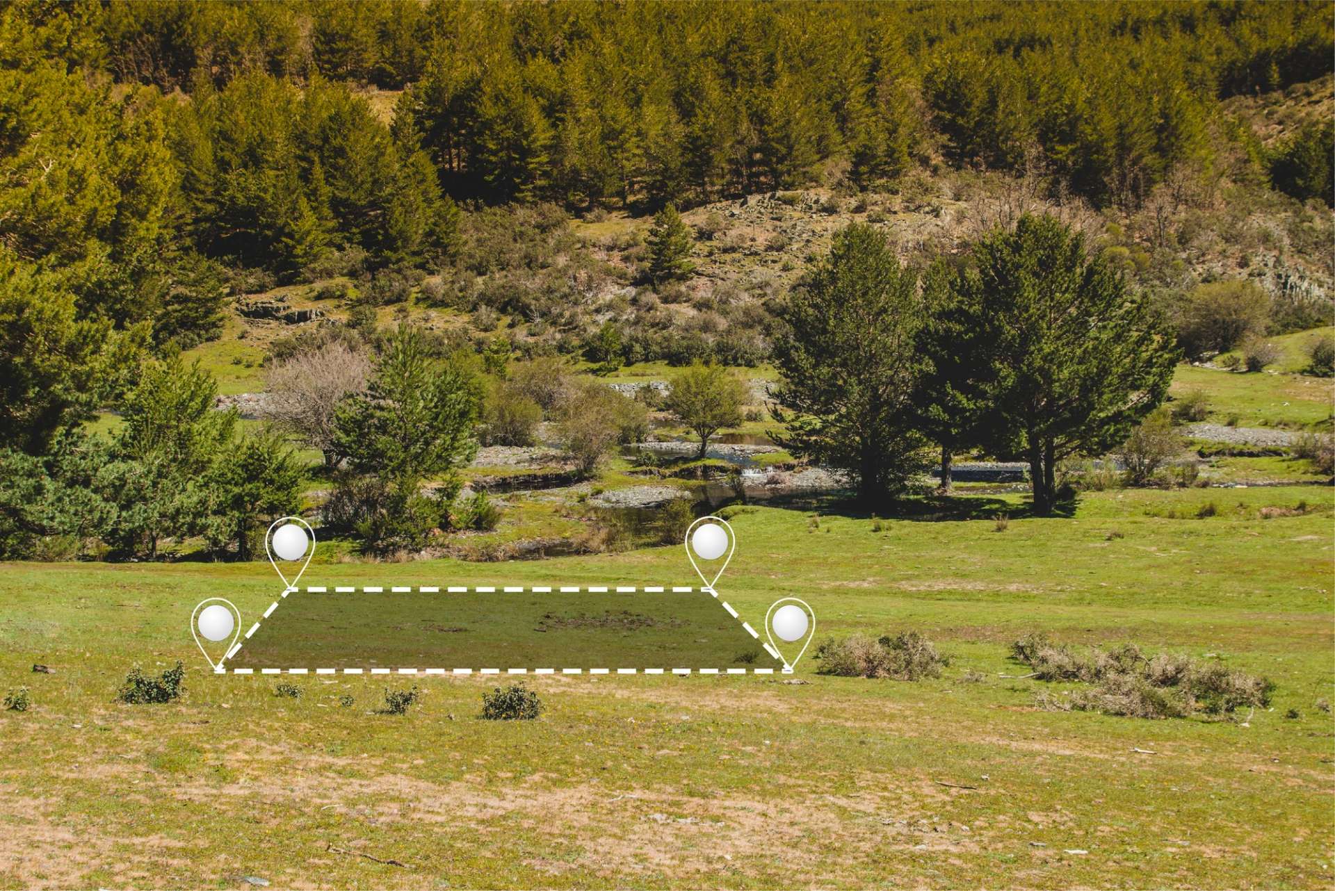
A Digital Twin is a dynamic, data-driven digital replica of a physical asset, system, or environment. At Fourtsadakis, we create