
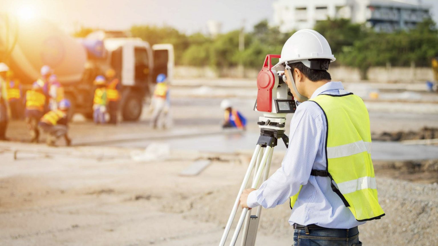
Our 3D surveying services provide highly accurate and detailed three-dimensional representations of buildings, structures, and environments. By leveraging cutting-edge technologies such as laser scanning and photogrammetry, we capture spatial data with exceptional precision, enabling better visualization, analysis, and decision-making.
What We Offer
- High-resolution 3D laser scanning of buildings and sites
- Creation of detailed point cloud datasets
- Development of accurate 3D models of existing structures
- Interior and exterior spatial mapping
- Integration with BIM (Building Information Modeling) workflows
- Conversion of point clouds into usable 3D geometry and drawings
Applications
Our 3D surveying services are ideal for:
- Architectural design and complex renovations
- Heritage documentation and restoration projects
- Construction planning and progress monitoring
- Clash detection and coordination in BIM environments
- Real estate visualization and virtual tours
- Industrial facilities and infrastructure mapping
Our Approach
We follow a precise and technology-driven workflow:
- On-site scanning using advanced 3D laser scanners or drones
- Data registration and alignment of multiple scans
- Processing and cleaning of point cloud data
- 3D modeling and visualization based on project requirements
- Quality assurance and final delivery
Key Benefits
- Extremely high accuracy and level of detail
- Full 3D visualization of complex geometries
- Reduced errors in design and construction phases
- Time-efficient data capture, even for large or complex sites
- Seamless integration with modern engineering and BIM tools
Deliverables
- Point cloud files (e.g. RCP, E57)
- 3D models (Revit, IFC, OBJ, etc.)
- 2D drawings derived from 3D data
- Visualizations and rendered views upon request
- Data ready for BIM and digital twin applications